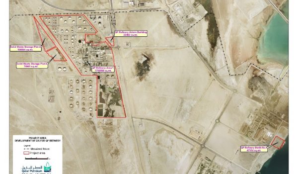
Updating of As-built Drawings and Geographic Information System
The main objectives of the Project are as follows:
- Upgrade and update the Existing Refinery GIS to reflect modifications / additions affected through various ongoing and completed projects by retrieving as-built engineering records, site verification, updating site verified MERs, above ground surveys, underground mapping and populating GIS.
- Gather and populate spatial, attribute and metadata of new datasets for additional process / utility systems.
- Establish link between the geographic objects in Refinery GIS (both existing and newly populated GIS layers) and the related engineering drawings / documents.
- Migrate existing GIS tools to new technology as per Scope of Services requirement.
Services provided
- Data mining i.e. retrieval of as built engineering records and an inventory of above ground and underground utilities and services to be mapped in GIS, locate routes of underground utilities and services, gathering of attribute data of objects in GIS database and collection of engineering drawings and documents to be linked to GIS.
- Mark up of all the changes affected by projects and Plant Change Requests (PCRs) on Master Engineering Records (MER) required for updating and populating GIS.
- Carrying out engineering site verification and mark-up of MERs and Project As-built records required for updating and populating GIS.
- Compilation of a list of engineering drawings and documents associated with each entity in GIS.
- Carrying out survey of above ground facilities, where required.
- Carrying out mapping of underground components of the GIS where required.
- Update of Project As-built records required for updating and populating GIS.
- Update of the GIS database for existing systems
- Population of GIS database for new systems
- Migration of existing GIS tools to new technology.
Client
Qatar Petroleum (QP), Qatar
